Sa Penya
Sa Penya is a district of Ibiza, situated at the far east of the original city. It extends between the bastion of Santa Lucia and the old harbour, bordering the quarters of La Marina and Dalt Vila. Between carrer Alt and Vista Alegre the topography drops 30 m above sea level until the corner with the “Baluard” of Santa Lucia.
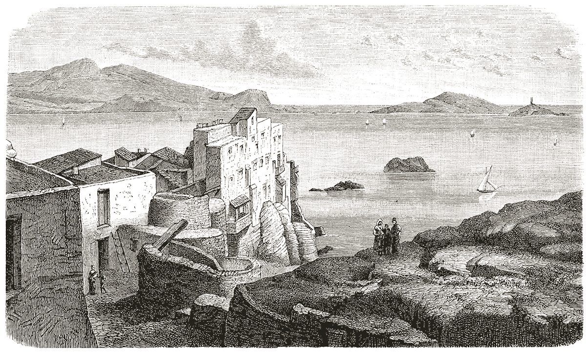
Sa Penya owes its name to the fact that it was built on the last foothills of the mountain first known as Puig d’en Vic (XIV century), then Santa Lucia for having built a church named after the saint, that was destroyed later by the Turks. According to Joan Mari Cardona, Sa Penya (or “rock” in Catalan) appears in some 1614 books, as the “Rock” of Santa Lucia. The first parish registers of St. Elmo, initiated in 1785, mentioned the district of Santa Lucia and La Pedrera; three years later it was denominated by the living families of the barrio: Penya de Baix i Penya de Dalt (lower and higher rock).
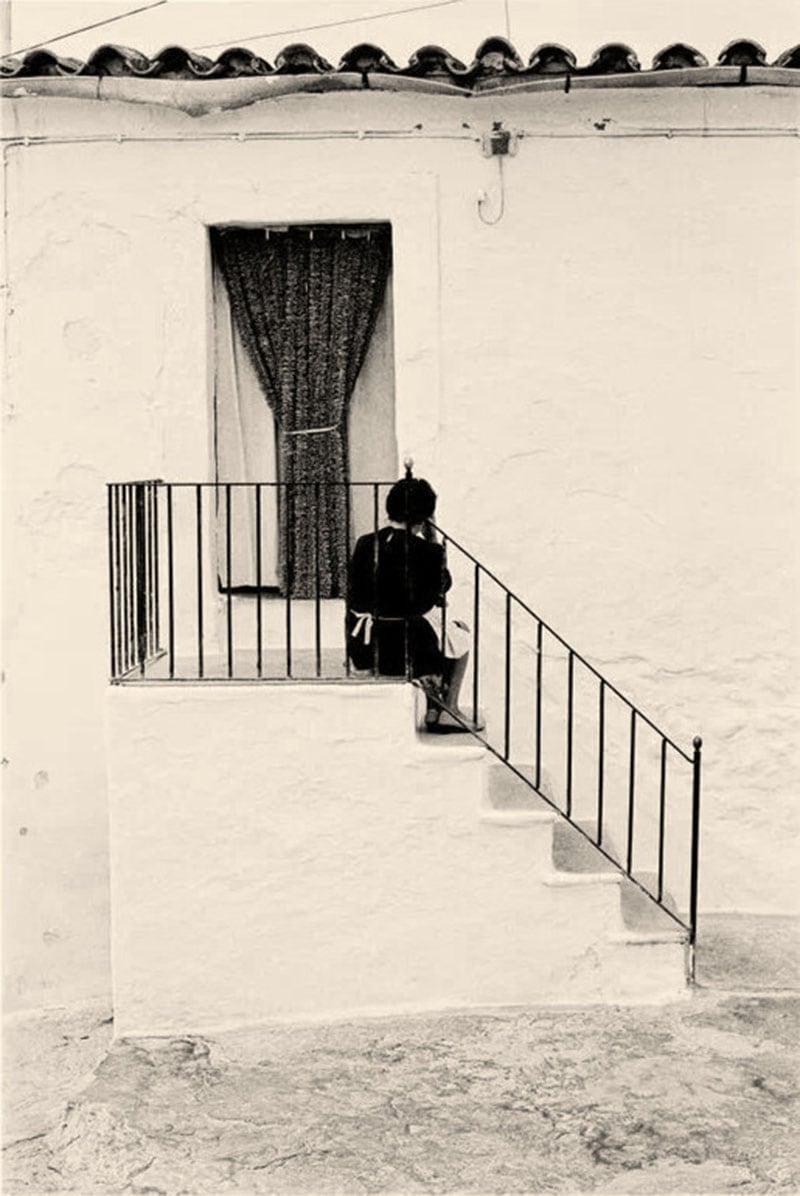
During the first years of the XXI century the whole waterfront started being considered as a part of the Marina. The two districts constitute now a single suburb outside the walls, but since the XVII century only sailors and seamen were allowed a resident permit in the area. The barrio acquired a denoted marine atmosphere. The study by Bartomeu Barceló Pons in 1960 tells us how the Sa Penya population was characterized by a young workforce still in primary activities (fishermen, farmers), and the rest split between secondary and tertiary activities.
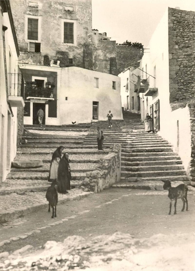
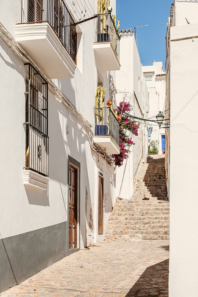
In 2005 a census counted 457 inhabitants in Sa Penya. Thanks to the artists, independent businesses, and forward thinkers; life has been breathed into this beautiful area creating a vibrant flourishing community.